|
Charleston Maps - Charleston
South Carolina
HOME
DOWNTOWN CHARLESTON
MOUNT PLEASANT
SULLIVAN'S ISLAND
DANIEL ISLAND
JAMES ISLAND
WEST ASHLEY
JOHNS ISLAND
CHARLESTON RELOCATION
CHARLESTON AGENTS
PROFILE
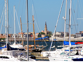
Much of the greater Charleston area is
geographically divided by natural waterway boundaries. Closest to
the ocean are the windswept barrier islands, featuring dunes, sandy
beaches and maritime forest. Farther inland are the large sea
islands, marked by tidal creeks, marsh estuary and oak-lined
riverfront bluffs. Mainland areas extend up the Charleston peninsula
from the historic 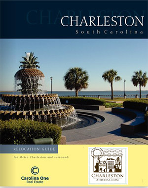 city to the commercial areas of North Charleston,
East of the Cooper River in the residential and golfing communities
of Mount Pleasant, and West Ashley in the charming suburbs near old
colonial plantations. city to the commercial areas of North Charleston,
East of the Cooper River in the residential and golfing communities
of Mount Pleasant, and West Ashley in the charming suburbs near old
colonial plantations.
If you would like to receive our free relocation E-Guide to the area, please fill out the form on the contact page and choose"Yes" to receive the guide. This guide touches on the varied lifestyles and communities that comprise Charleston. It also provides information on business facts, medical facilties, cost of living comparisons and top area employers. In additon, there is a newcomers index with numbers with everything from voter registration information to utilities and taxes.
Search for Charleston Real Estate via Charleston Area MLS Search
 |
Charleston and surrouding areas ...
|
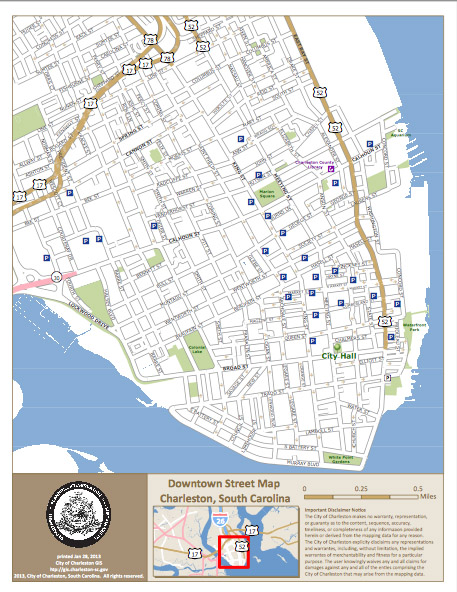 |
Multiple Downtown Charleston street maps ...
- neighborhood
- landmark
- street
|
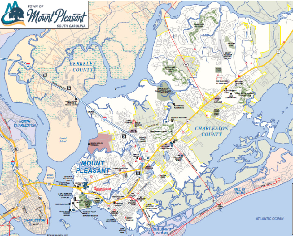 |
Mount Pleasant street maps ...
|
Courtesy of the Charleston Visitors Bureau and the City of Charleston GIS
|